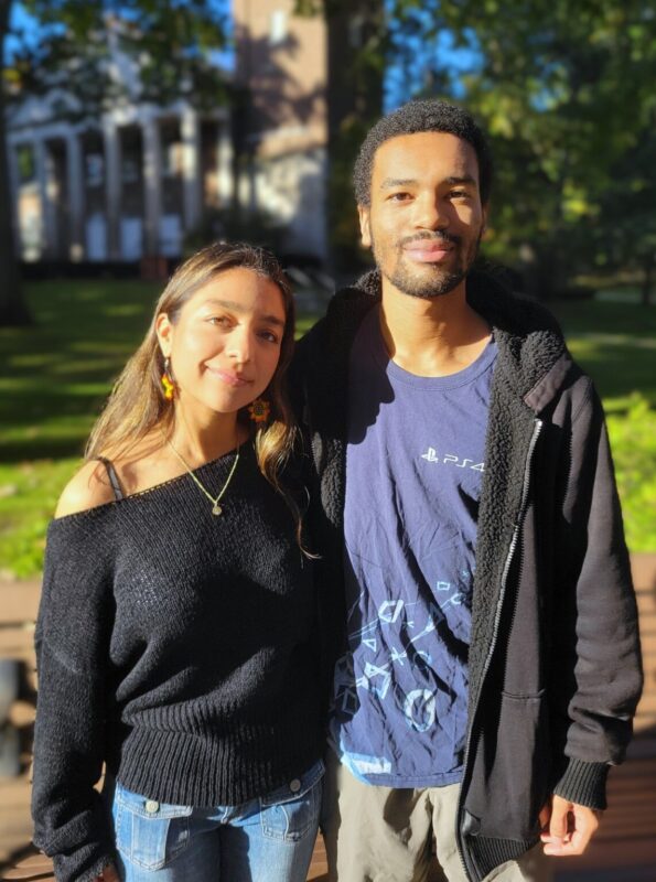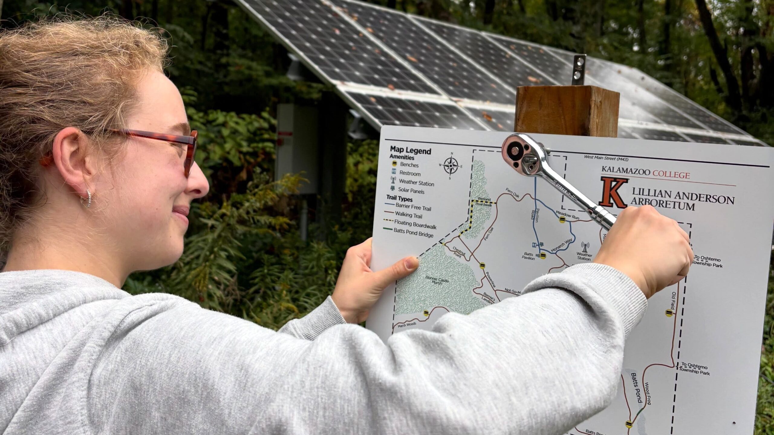
After learning geographic information systems (GIS) in a Kalamazoo College senior seminar led by Professor of Biology Binney Girdler, Eva Hannibal ’26 and Nat Ward ’26 put their skills to work last spring and summer, creating updated trail maps for the College’s Lillian Anderson Arboretum. The maps, now posted at the arboretum, help visitors navigate its changing trail system and identify features along the way.
Sara Stockwood, director of the Larry J. Bell ’80 Environmental Stewardship Center and the Lillian Anderson Arboretum, approached the students about updating the previous map, which dated to 2017. Since then, some trails had closed, others were missing from the map, and visitors needed information about features such as a bypass around a flooded section. The project allowed Hannibal and Ward to apply their newly acquired skills to a practical need.
“We both feel proud of learning GIS in one semester and then using it right after,” Hannibal said. “The maps are a cool way to use the skills we gained in class and actually get paid for it, too.”
However, updating the maps—funded by a grant from Rotary of Kalamazoo and installed by the Arboretum Stewardship Practicum PE class—required more than transferring existing information into new software. The students first tracked down the data layers used to create the previous map. Although some were available, they had to reconstruct other sections using satellite imagery and firsthand observations.
Over several days, Hannibal and Ward walked the trails with their phones while using Strava, an app that helps runners track their workouts, to record geographic coordinates they could import into QGIS, the mapping software they learned in class. They estimated they walked about five miles, sometimes retracing their steps to verify their recordings.
Hannibal and Ward divided the work and revised the maps through several rounds of feedback. Ward focused largely on icons and other details, while Hannibal concentrated on tracing and refining the trails. Girdler and Stockwood helped them identify inaccuracies and improve the map’s clarity.
One trail demonstrated why firsthand observations mattered. The students initially traced a path along a major power line using Google Earth. Girdler pointed out that the trail was not as straight as their draft suggested. When the students returned to the site, they found that the path had more curves and turns than their original drawing showed. The correction underscored the importance of verifying digital maps through firsthand observations.
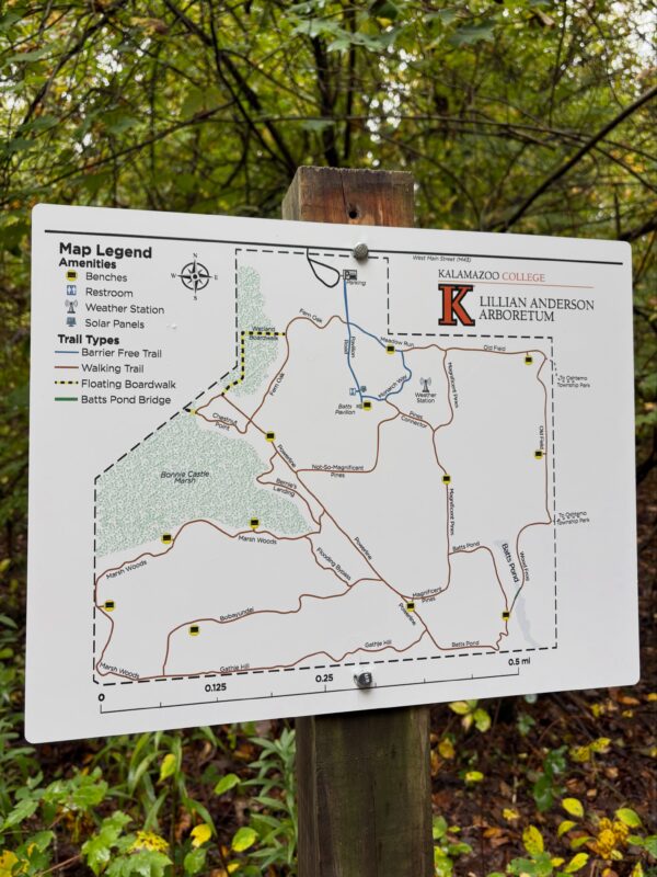
Accuracy, though, was only part of the challenge. The students also had to consider how someone unfamiliar with the arboretum would use the finished map. The new map identifies trail names and types, marks amenities such as benches, and indicates which trails are barrier-free.
“It’s a lot of transferring it over and making sure that it’s accessible to the public,” Ward said. “You have to make it look a lot more pleasing and ensure that the information is easy to understand.”
Design choices matter, too. Clear icons, readable trail names and distinctions between routes help visitors understand the map and navigate the property.
Mapping the arboretum also gave the students a closer look at its ecological diversity. Ward, a biology graduate interested in environmental science, was struck by the variety of ecosystems within the property, including a pond, marshland, grassland and forests.
“Just how complex it is, even for a relatively small plot of land, was striking,” Ward said.
Ward especially appreciates the arboretum’s southwestern side, near its old-growth forests, where previous biology research using trail cameras introduced them to white-tailed deer, raccoons and flying squirrels. Hannibal, who spent three years working at the arboretum, favors the Wetland Boardwalk, where they have observed frogs and praying mantises.
Hannibal and Ward hope the maps will do more than help visitors navigate the arboretum. They also want the maps to encourage people to explore its diverse habitats and develop a stronger connection to the natural environment.
“When we better understand the environment that’s around us, we foster a deeper level of respect for it,” Ward said. A greater understanding of the natural world, they added, can encourage conservation while giving people a chance to step away from the stresses of classes, work and daily life.
Hannibal and Ward continued refining the maps through the summer, adjusting logos, graphics and formatting. They also identified possible future improvements, including color-coded routes and topographic information. With the maps now posted at the arboretum, Hannibal said the clearest measure of the project’s success is also the simplest.
“Definitely just people using it,” Hannibal said. “It’s already up in the arb, which is cool. That felt like success.”